> For the complete documentation index, see [llms.txt](https://docs.freeflysystems.com/llms.txt). Markdown versions of documentation pages are available by appending `.md` to page URLs; this page is available as [Markdown](https://docs.freeflysystems.com/astro/other-user-manuals/ecosystem/esri-arcgis-flight-site-scan/global-settings.md).
# Global Settings
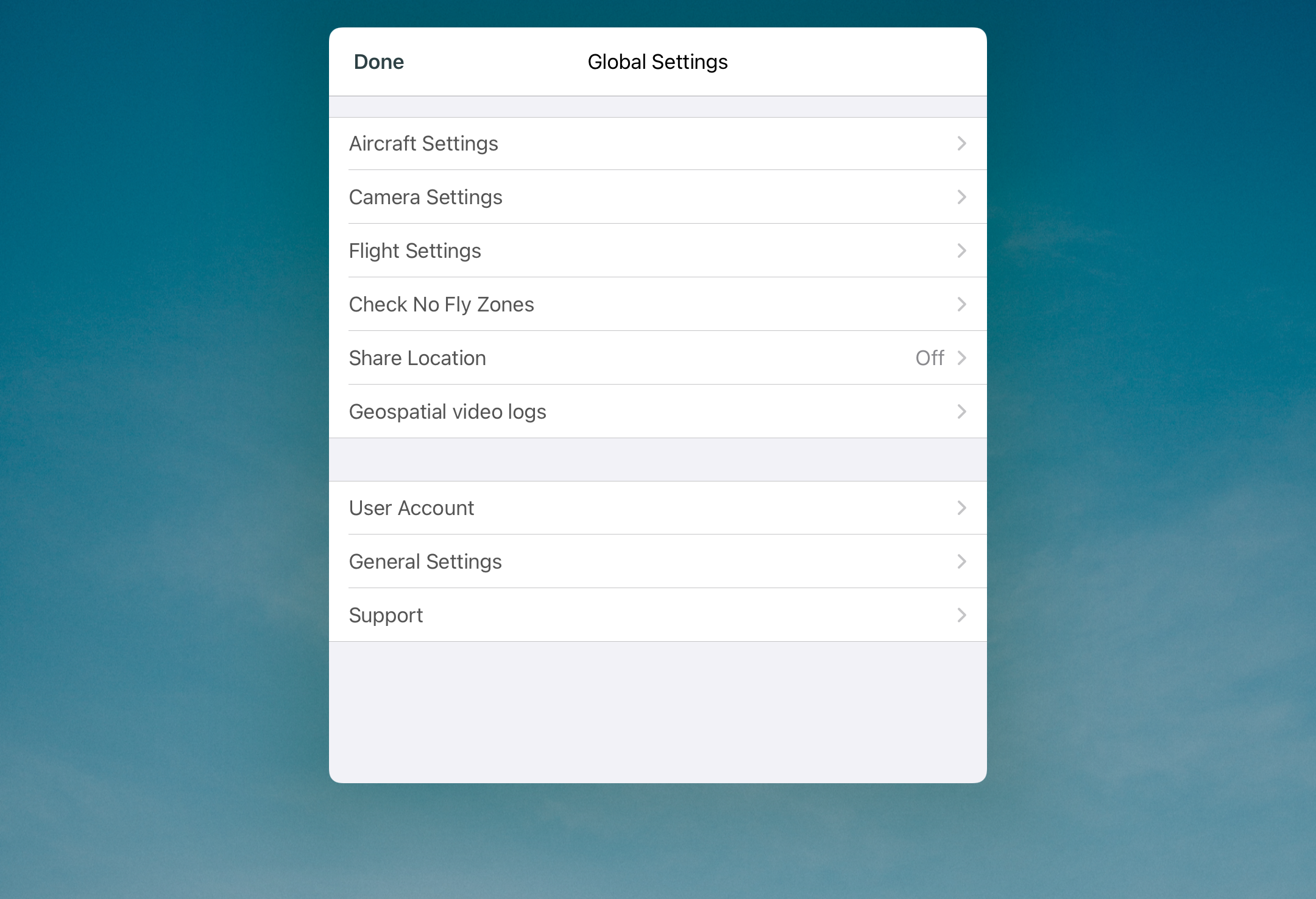
Global settings can be opened from the Project List screen immediately after opening the app. Select the to open the settings.
## Aircraft Settings
{% hint style="info" %}
The Aircraft Settings are only accessible when Astro is connected to Site Scan. If the option is grayed out, connect to the Herelink hotspot.
{% endhint %}
### RC Stick Control Mode
Sets the configuration for how the stick inputs control the aircraft. This option is set to mode 2 by default. Unless you are very familiar with other control modes, we highly recommend that you avoid changing this setting.
### Sensors Calibration
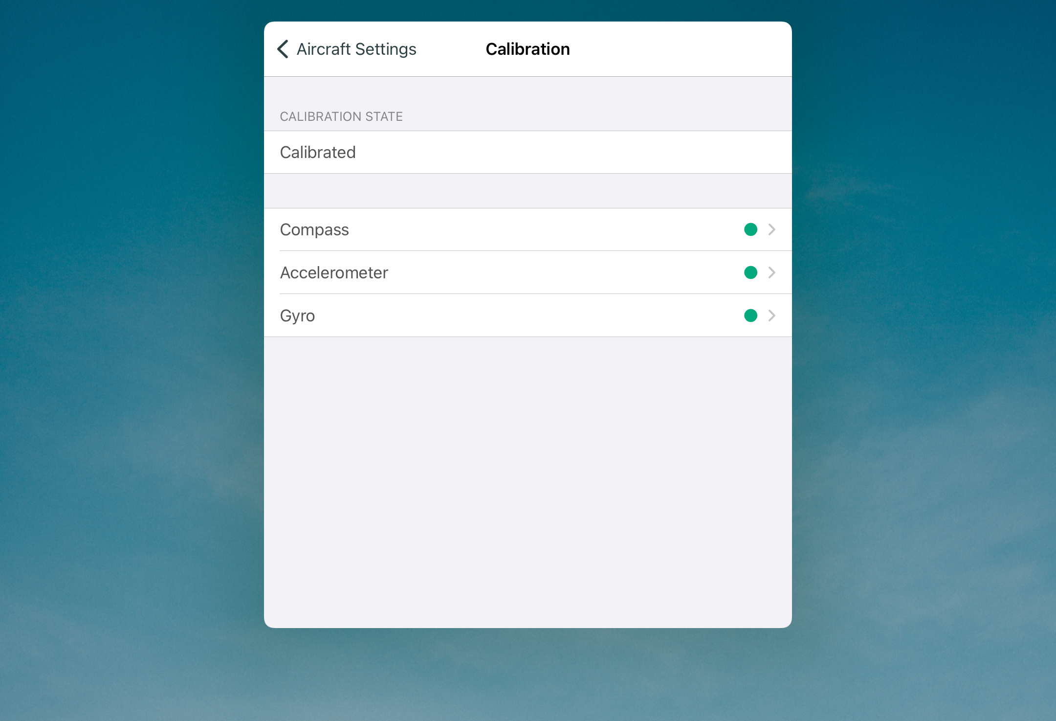
Shows the current calibration state of the sensors in the aircraft. If all options are green, no action is needed. If a sensor is not calibrated properly, the dot will be yellow or red. Tap on the associated sensor to recalibrate.
##
##
## Compass Calibration
{% hint style="warning" %}
It is recommended to do Sensor Calibrations in the AMC app. Please refer to
{% endhint %}
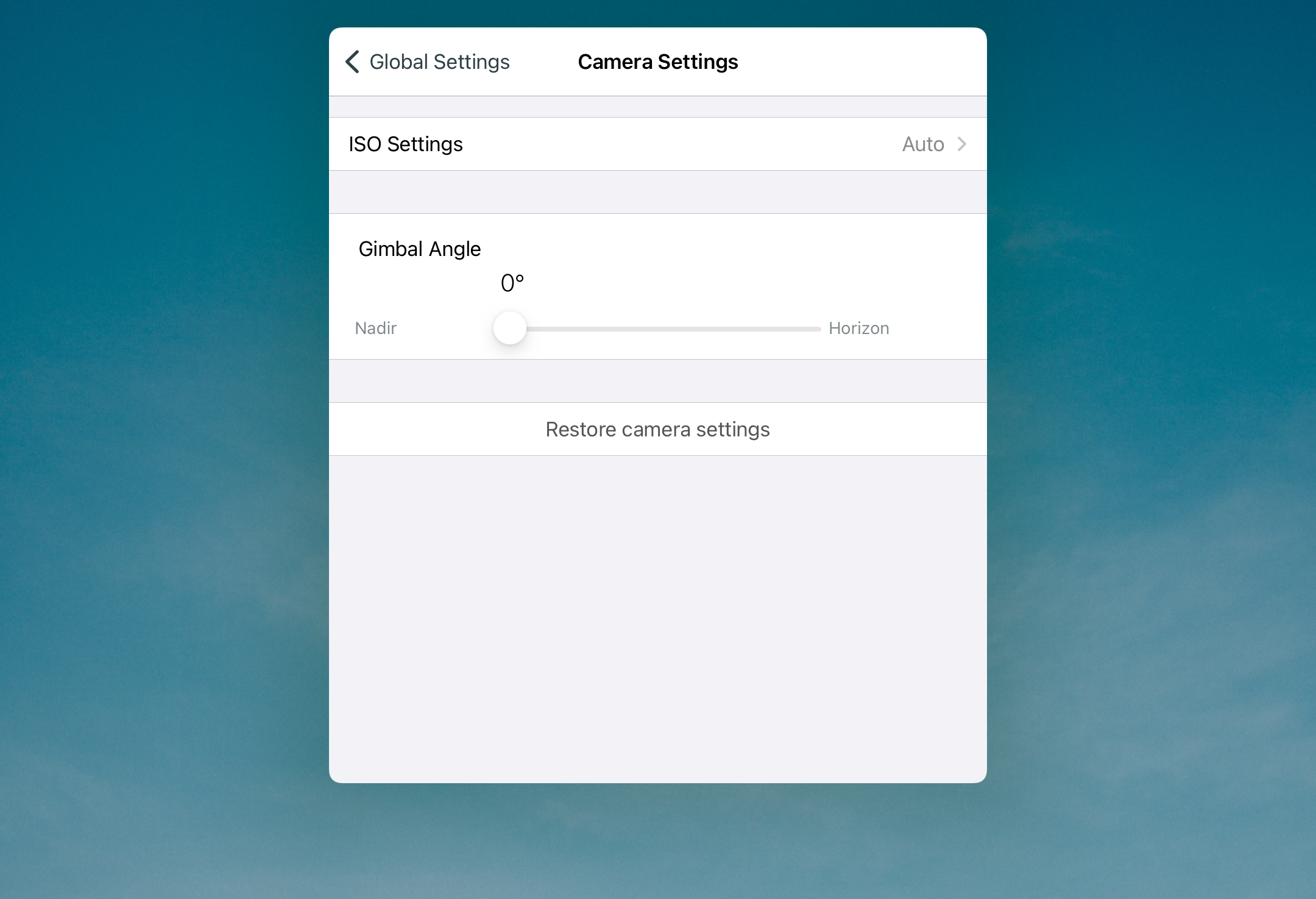
## Camera Settings
{% hint style="info" %}
The Camera Settings are only accessible when Astro is connected to Site Scan. If the option is grayed out, connect to the Herelink hotspot.
{% endhint %}
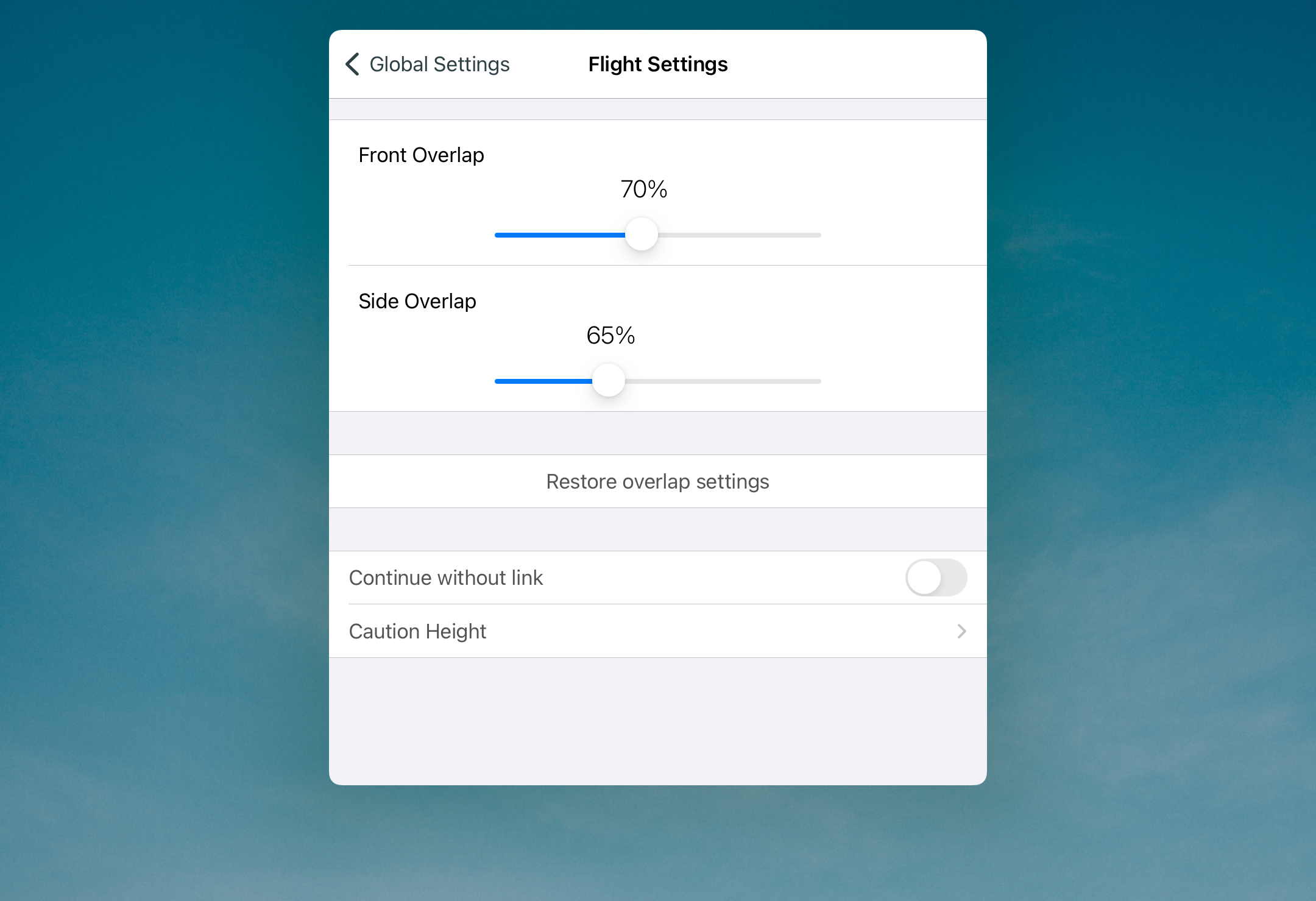
## Flight Settings
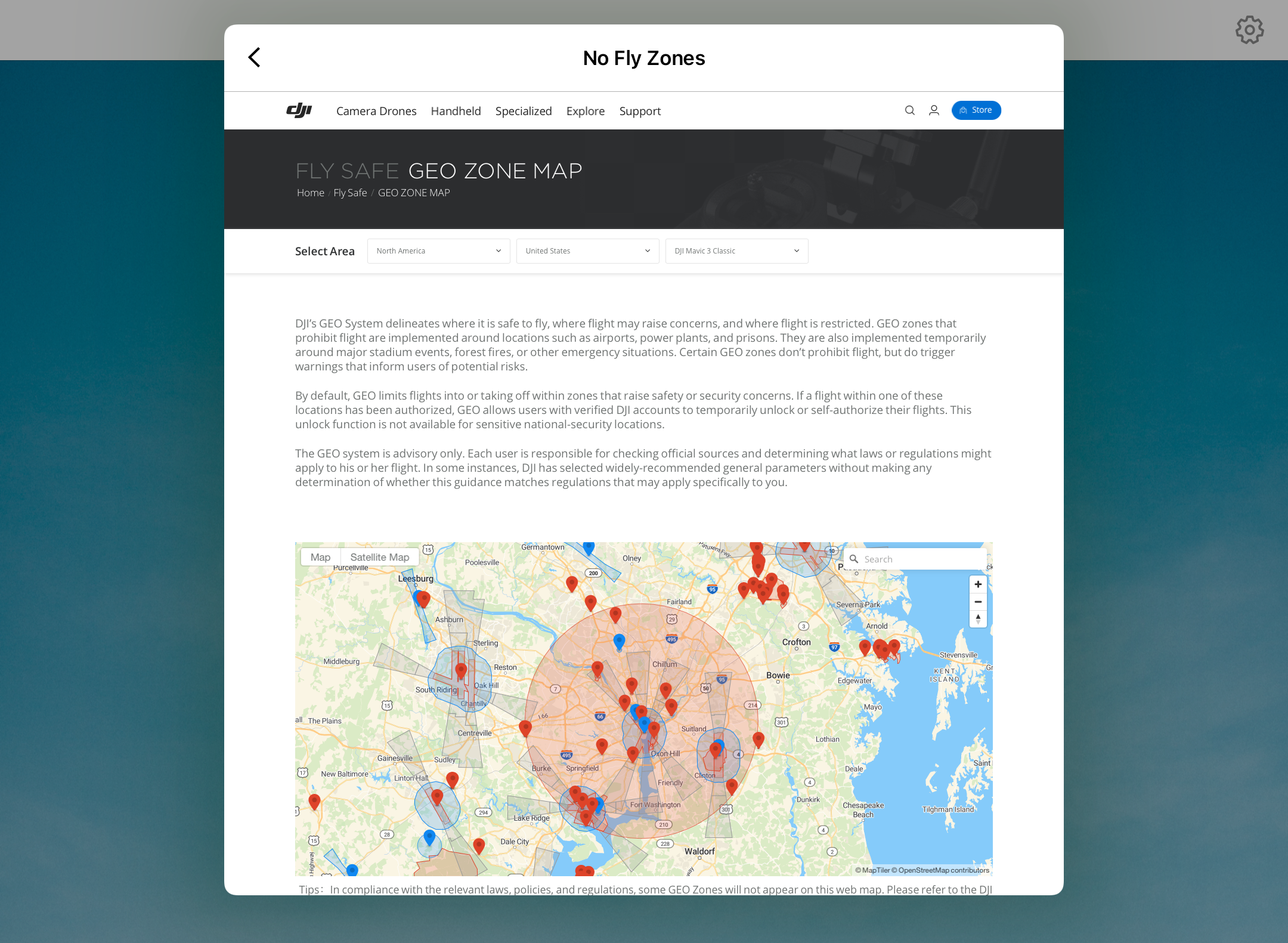
## Geozone
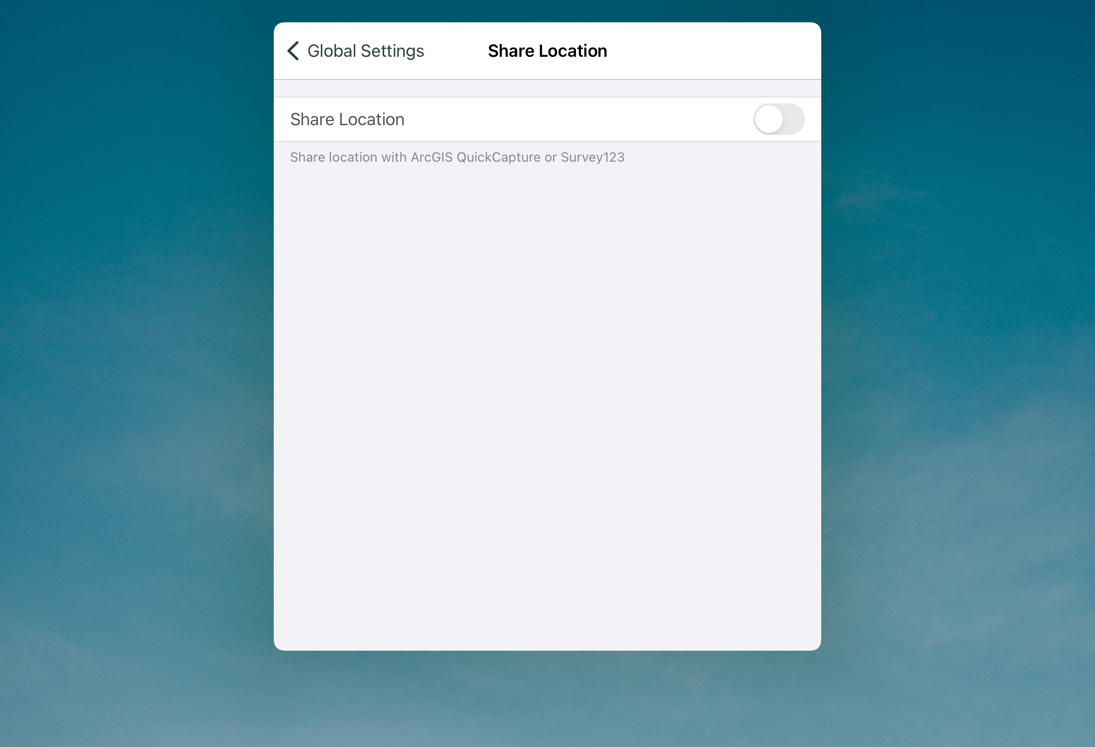
## Share Location
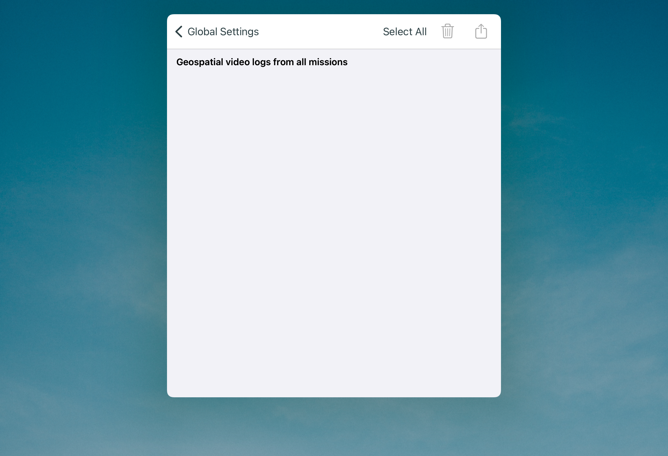
## Geospatial
## My Account
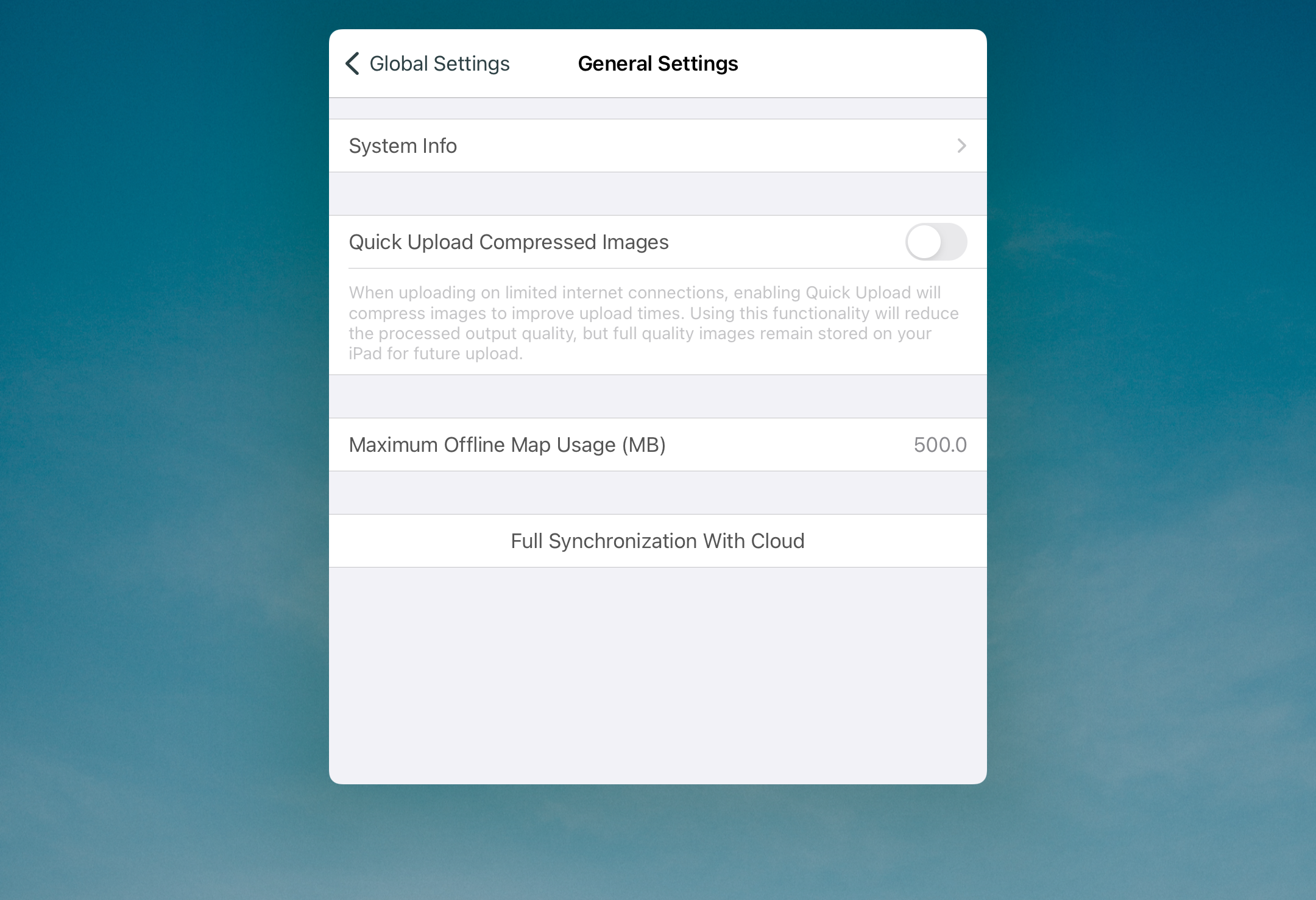
## General Settings
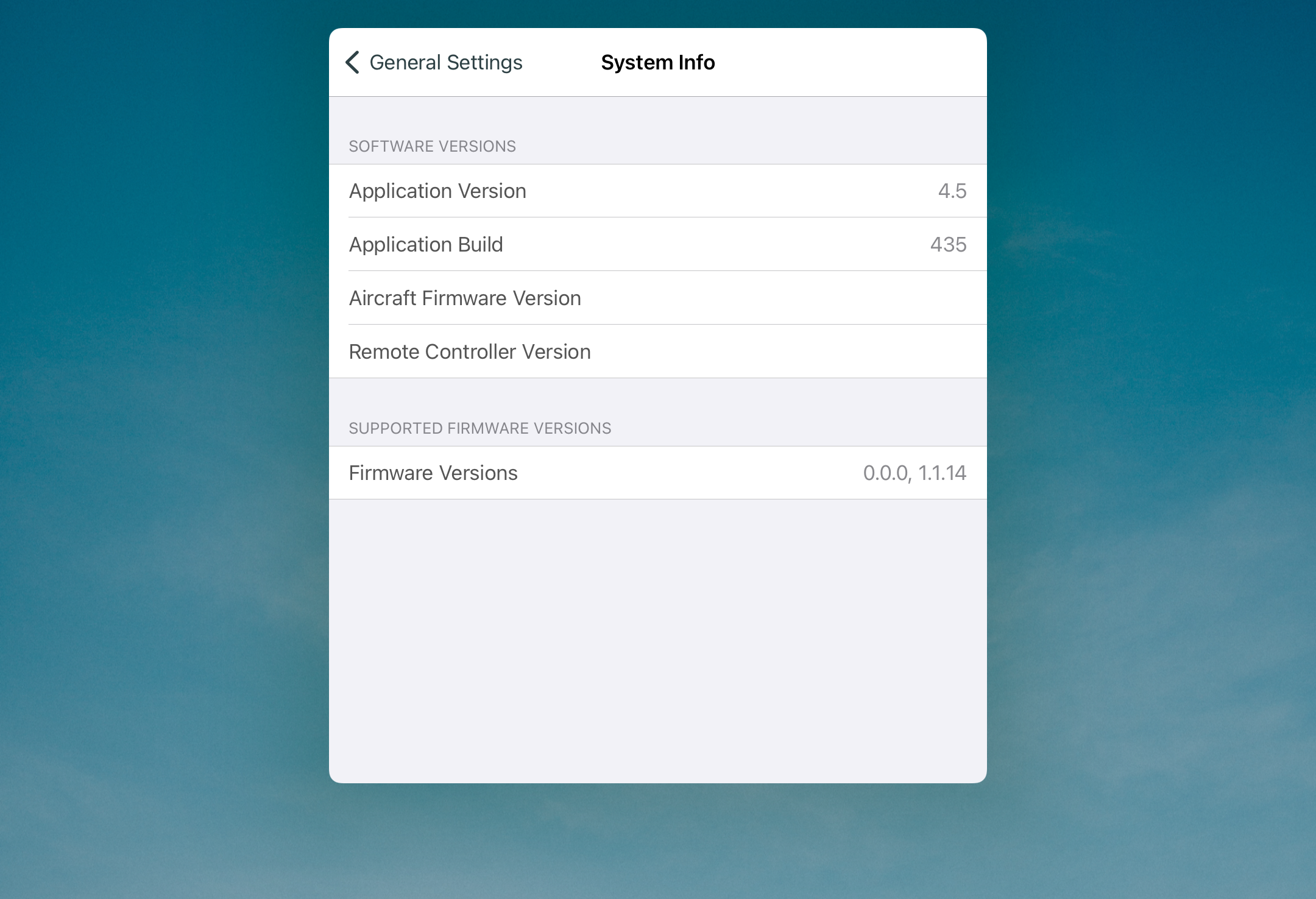
## System Info
---
# Agent Instructions
This documentation is published with GitBook. GitBook is the documentation platform designed so that both humans and AI agents can read, navigate, and reason over technical content effectively. Learn more at gitbook.com.
## Querying This Documentation
If you need additional information that is not directly available in this page, you can query the documentation dynamically by asking a question.
Perform an HTTP GET request on the current page URL with the `ask` query parameter, and the optional `goal` query parameter:
```
GET https://docs.freeflysystems.com/astro/other-user-manuals/ecosystem/esri-arcgis-flight-site-scan/global-settings.md?ask=&goal=
```
`ask` is the immediate question: it should be specific, self-contained, and written in natural language.
`goal` is optional and describes the broader end goal you are ultimately trying to accomplish on behalf of the user. GitBook uses it to tailor the answer towards what is most useful for that goal.
The response will contain a direct answer to the question and relevant excerpts and sources from the documentation.
Use this mechanism when the answer is not explicitly present in the current page, you need clarification or additional context, or you want to retrieve related documentation sections.
 to open the settings.